








The Indian National Centre for Ocean Information Services (INCOIS), Hyderabad, will deploy a combination of ocean modelling, satellite remote sensing, and artificial intelligence (AI) and machine learning (ML)-based tools to identify, monitor and forecast marine litter hotspots as part of a national initiative aimed at tackling ocean pollution.
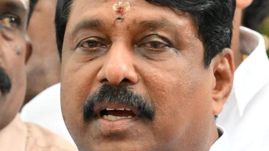
Speaking at the launch of the National Initiative for Remediation of Marine Litter on Saturday, INCOIS Director T.M. Balakrishnan Nair said the scientific tools would help pinpoint areas where marine waste accumulates, enabling targeted clean-up and mitigation measures.
The pilot phase of the initiative, which seeks to establish the country’s first integrated marine litter tracking framework, was launched in Visakhapatnam in collaboration with Andhra University and Vignana Bharati (VIBHA). The programme was inaugurated by Ministry of Earth Sciences (MoES) Secretary T. Srinivasa Kumar and Visakhapatnam MP M. Sribharat during the concluding day of the week-long Swachh Sagar Surakshit Sagar 5.0 campaign.
Mr. Kumar said extensive scientific studies would be undertaken in and around Visakhapatnam to identify the sources of marine plastic litter, monitor its movement and determine regions where it is likely to accumulate. The studies will also help formulate strategies for the removal and recycling of plastic waste, thereby supporting the circular economy, according to a press release.
Published – September 20, 2026 06:51 pm IST