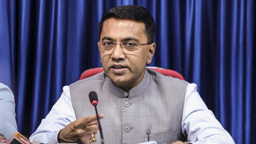








Ashwin Mahesh, founder of LVBL Accelerator, said Bengaluru’s concentration of jobs in a few areas and high housing costs make concepts such as the “15-minute city” difficult to achieve without changes in employment and housing patterns.
| Photo Credit: MURALI KUMAR K.
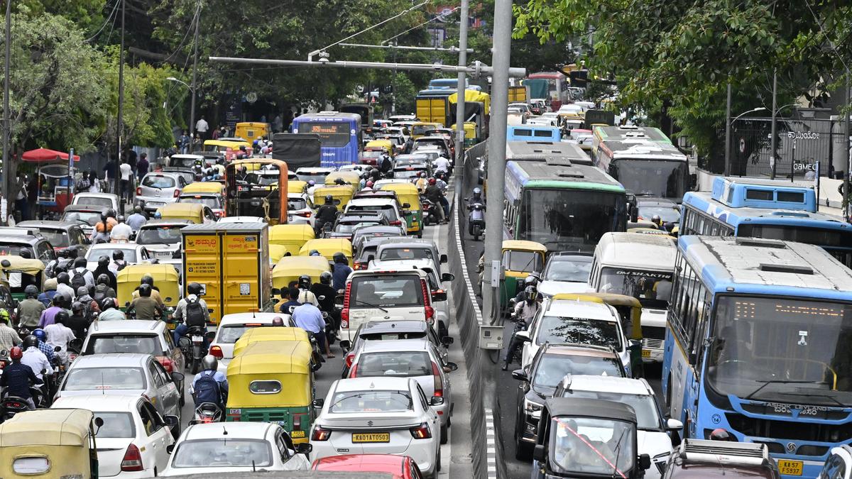
Artificial intelligence can help optimise Bengaluru’s public transport network, from designing bus routes to adjusting services based on passenger demand, but effective governance and implementation remain bigger challenges, experts said at the Mobility Symposium 2026, hosted by MoveInSync, on Thursday.
Sreenivas Bhandari, vice-president, transit, ONDC, said that AI could enable public transport agencies to move away from rigid schedules and make services more responsive to demand. Data on passenger movement could, for instance, help determine how frequently buses should operate on particular routes and coordinate feeder services with metro demand.
He said open data, common standards and application programming interfaces (APIs) were crucial to integrating different modes of transport. With bus, Metro and other mobility data available through a common digital framework, commuters could potentially use a single application to plan, book, track, and complete an end-to-end journey.
Ashwin Mahesh, founder, LVBL Accelerator, however, stressed that technology alone would not solve Bengaluru’s mobility challenges. “AI could quickly identify optimal routes and improve bus network design, but governments needed the institutional capacity, planning systems and trained personnel to implement such solutions,” he said.
He also pointed to the wider urban planning challenge, noting that Bengaluru’s concentration of jobs in a few areas and high housing costs make concepts such as the “15-minute city” difficult to achieve without changes in employment and housing patterns.
Nikhil Maroli, co-founder and director, RoadMetrics, said, “Computer vision and AI could be used to identify road defects, footpaths, and lane markings from road imagery, helping authorities monitor infrastructure and plan maintenance.”
Published – October 08, 2026 10:32 pm IST