




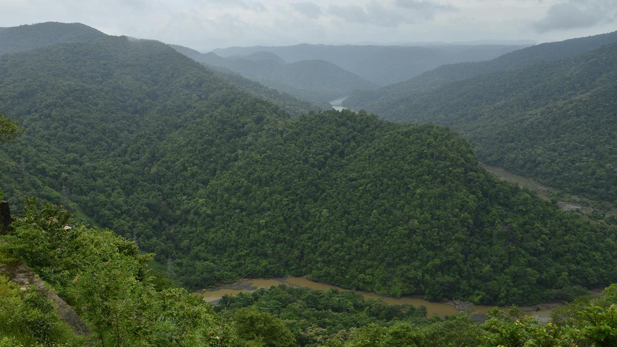


The Western Ghats account for nearly 60% of reported landslides in India, with most triggered by intense and prolonged rainfal
| Photo Credit: K. MURALI KUMAR
Researchers at the National Institute of Technology Karnataka (NITK), Surathkal, have developed an integrated landslide early warning framework designed specifically for the Western Ghats, one of India’s most landslide-prone regions.
The system, called Slope Vulnerability and LandSlide Assessment (SVALSA), combines rainfall analysis, real-time monitoring of soil behaviour and surface movement, and machine learning to provide reliable landslide warnings while reducing false alarms.
Why existing warnings often fail
The Western Ghats account for nearly 60% of reported landslides in India, with most triggered by intense and prolonged rainfall. Recent disasters, including the July 2024 Wayanad landslide, have highlighted the limitations of existing warning systems and the need for more accurate, site-specific alerts.
At present, landslide warnings in India are largely based on rainfall thresholds, where alerts are issued when rainfall crosses certain intensity or duration limits. These systems, while useful, often fail to account for what is happening inside the slope itself. As a result, they can generate frequent false alarms or miss impending failures when soil conditions deteriorate even under moderate rainfall.
Beyond rainfall-only alerts
The SVALSA framework addresses this gap by moving beyond rainfall-only alerts. It integrates hydrological data, soil strength behaviour and visible surface deformation into a single decision system that reflects how slopes actually fail in the Western Ghats. More than 90% of landslides in the region occur in residual soils formed from weathered rock, where changes in moisture content and soil suction play a critical role in slope stability.
The SVALSA device is currently under patent application. The research was developed by Varun Menon under the supervision of Sreevalsa Kolathayar, with funding support from the Department of Science and Technology (DST), IMPRINT (Impacting Research Innovation and Technology), and the National Technical Textiles Mission (NTTM) under the Ministry of Textiles.
Three-stage warning system
The system operates through a three-stage warning mechanism implemented as a Python-based algorithm on a compact processing unit.
In the first stage, rainfall data from government records and past landslides are analysed using a machine-learning method called K-Nearest Neighbour (KNN). The model compares current rainfall with earlier landslide-triggering events and filters out low-risk situations, reducing unnecessary alerts. Tests showed the method to be highly accurate.
If rainfall conditions appear risky, the second stage assesses soil stability using a modified version of the simplified Bishop method, which factors in soil moisture and suction based on unsaturated soil mechanics. Laboratory tests confirmed that slope stability decreases as soil absorbs more water.
The final stage monitors surface movement through image analysis using Particle Image Velocimetry (PIV). Sudden increases in ground movement were found to be reliable warning signs of an impending landslide, often before visible failure occurs.
According to the researchers, using all three indicators together makes the warning system far more reliable.
The SVALSA framework also includes a deployable, low-power monitoring device that integrates rainfall sensors, soil moisture probes, imaging units and a compact processor capable of generating real-time alerts and communicating remotely with authorities.
Where it can be used
Researchers say the framework is particularly suited for hill roads, highways, railway cuttings, settlements located on steep slopes, and critical infrastructure corridors across the Western Ghats. Its adoption could improve disaster preparedness, support timely evacuations and significantly reduce loss of life and property.
Published – December 28, 2025 07:56 pm IST