

Most parts of the State, except the southern districts, experienced active monsoon conditions influenced by the low-pressure area formed over the Bay of Bengal. According to the weather bulletin issued by the India Meteorological Department (IMD) on Thursday, the system, after an initial intensification into a well-marked low-pressure area, has now weakened into a low-pressure area over south Odisha and adjoining Chhattisgarh.
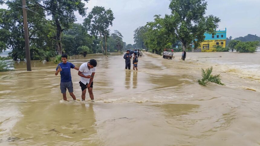
However, strong winds from the west and northwest directions are blowing over the Kerala and Lakshadweep area at lower tropospheric levels, leading to heavy to very heavy rainfall across the State, especially in the northern and central districts. As many as 19 weather stations under the IMD reported heavy rainfall during the 24 hours ending at 8.30 a.m. on Thursday, with Hosdurg in Kasaragod recording the highest rainfall of 10 cm followed by Chimoni in Thrissur (9 cm), Karipur in Malappuram, Kozhikode, Vellanikkara, Enamakkal and Lower Sholayar in Thrissur, Peringome in Kannur, and Padannakkad in Kasaragod with 8 cm each.
The IMD issued a yellow alert for nine districts in the State, except for Thiruvananthapuram, Kollam, Alappuzha, Pathanamthitta and Kottayam districts, where isolated heavy rainfall is likely during the next 24 hours. The re-energised monsoon shower is likely to prevail over the State for at least a couple more days.
Published – August 28, 2025 04:32 pm IST